
Last week, we covered the 'Embryonic Stage' of tropical forecasting. To recap, that is when we focus on what catches our attention in the tropics and where something might form out of all the chaos across the Atlantic Ocean, the Caribbean Sea, and the Gulf of Mexico.
This week, we are focusing on systems that have the key in the ignition and look as if they are ready to wrap up. Most likely, these are the sort of systems in which watches and warnings may be issued.
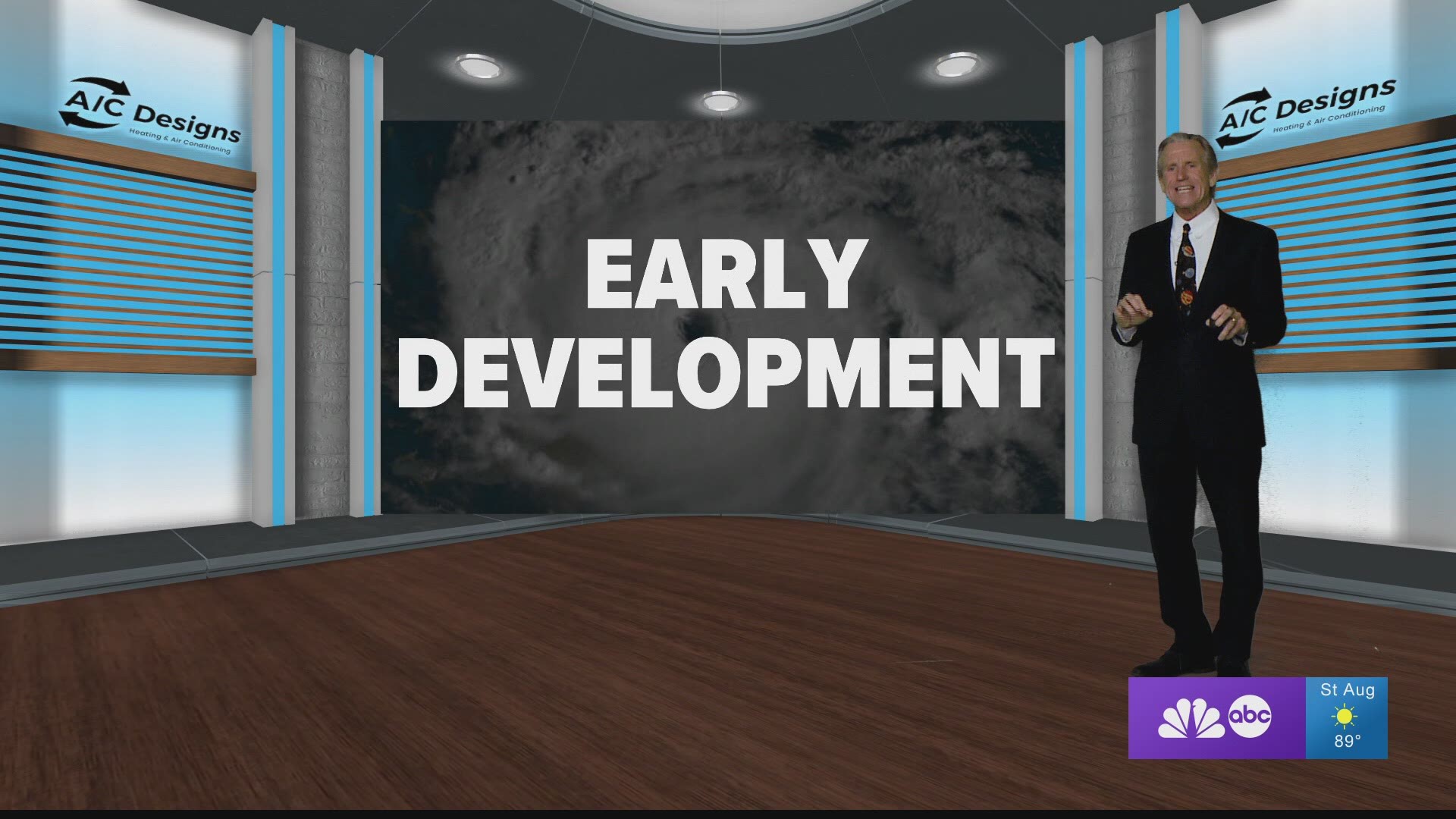
Let's take you through the steps we go through as meteorologists...
- We look for persistent convection and vertical mixing of the atmosphere. This means showers and thunderstorms are lasting for days, at least 36 hours, or for hundreds of miles as they travel across the basin.
- Thunderstorms allow for the lift of the warm air from the heated up ocean.
- The trillions of condensation nuclei transfer the heat into the atmosphere.
- When we see consistent activity like this, there is enough to fuel these storms to take the system to the next level.
- The CDO, or Central Dense Overcast, is the exclusive signature that the system is tropical and is intensifying. It's a visual verification you can pick out on visible satellite imagery.
- Barry was a perfect example of an intensifying system with a CDO. It's a sign that the engine was starting to roar.
- The CDO also allows us to see if any shear is impacting the system. (We will have more on shear next week!)
3. Once we notice the CDO, it's like a fireplace is being built and the vents are opening. The system is able to breath, which means it's gaining strength and is healthy.
- The more the air can be ventilated out, the lower the pressure becomes. The lower the pressure, the more intense the system and the stronger the winds.
- The lower pressure also signals more energy that can be drawn off the warm ocean.
4. At this point, with all of these ingredients in place, if there is no shear present then we would likely have a Category 1 hurricane on our hands.
- If there is enough ocean, we could continue to watch the storm develop. It essentially turns into a heat engine and feeds itself horizontally and, more importantly, vertically.
5. But shear halts the process and frequently can topple over a storm, which in turn weakens it.
So stay tuned for next week's 'TROPICS IN DEPTH' as Category 1 hurricanes can turn into major hurricanes.